Hello, welcome to Nanjing Longce surveying and Mapping Technology Co., Ltd!
语言选择: ∷ 

3D digital technology takes you closer to ancient villages

Release time:2021-08-31 09:49viewed:times
3D digital technology takes you closer to ancient villages

Purpose: Cultural Heritage Preservation
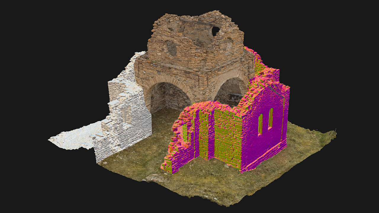
Location: North Ossetia, Lisri, Russia
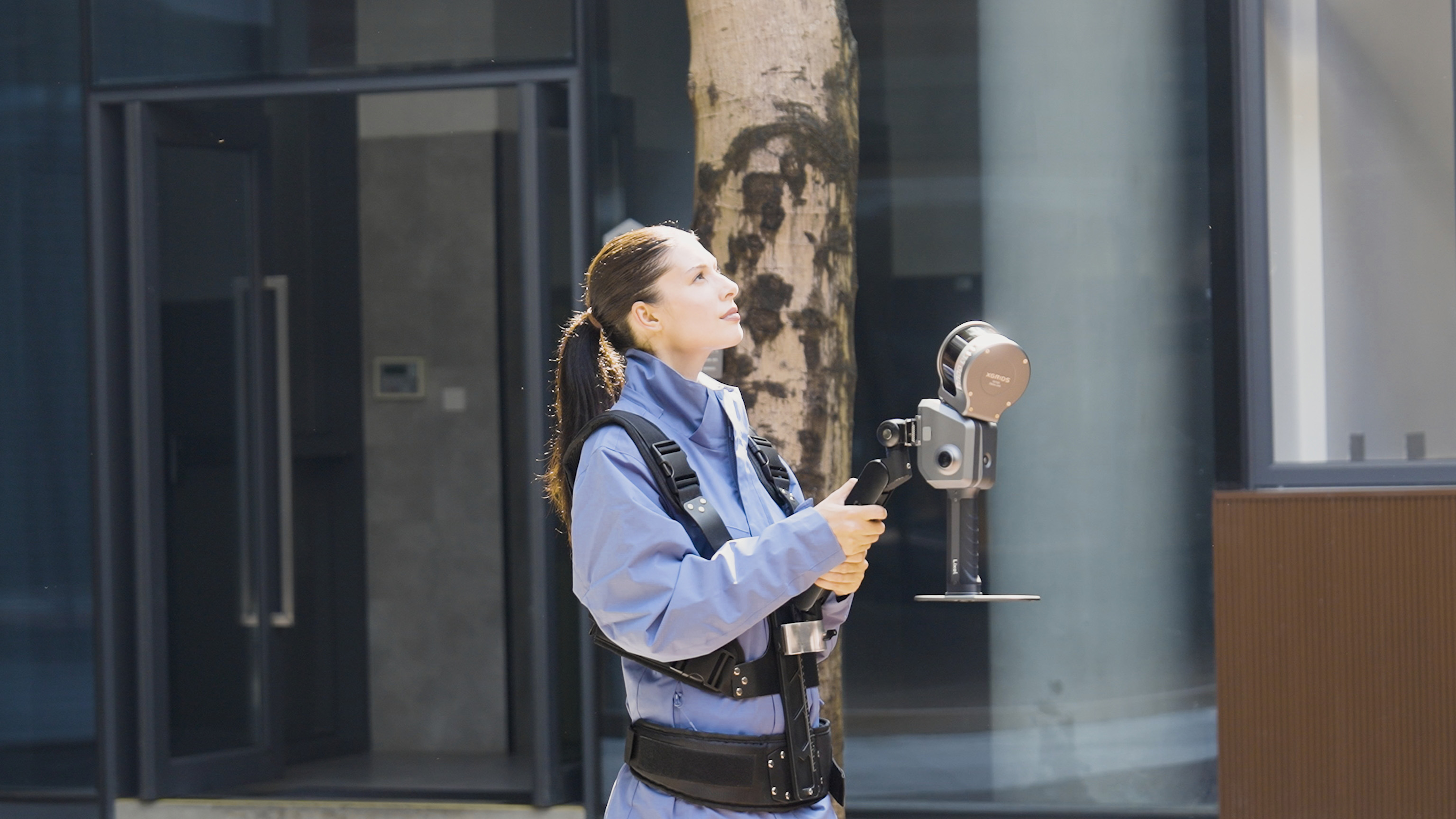
Equipment: DJI Phantom 4 Advanced, Sony a7, Faro s150
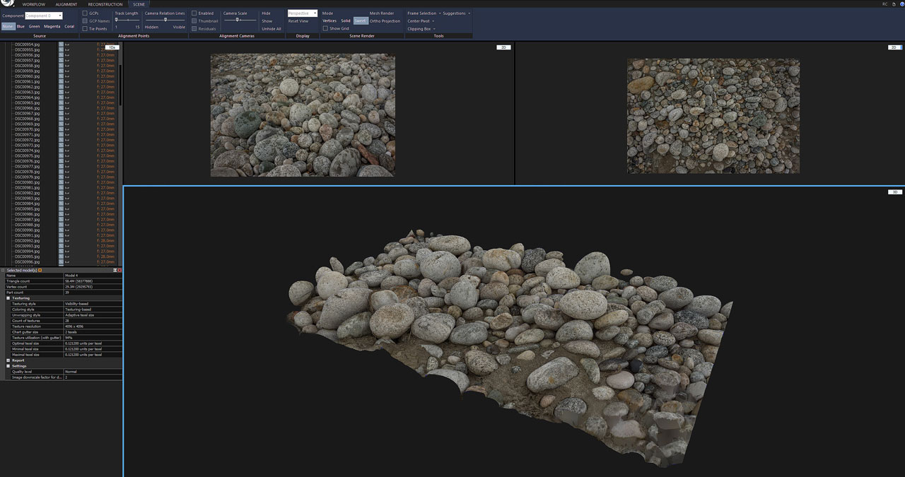
Software used: RealityCapture, Unreal Engine

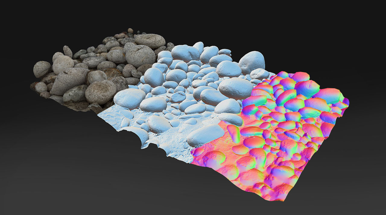
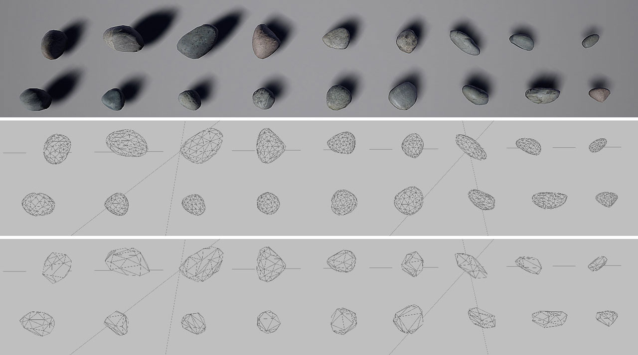
A cultural heritage conservation project in an abandoned village in Lisri, North Ossetia, combines 3d digital tools such as scanners, DJI and RealityCapture. Making abandoned centuries-old villages come to life in 3d visualization.

Lisri used to be one of the biggest mountain settlements in North Ossetia, an area close to the borders of Georgia. Harsh weather and poor living conditions forced people to slowly abandon the village and move to the foothills area.

The aim of this project has been to digitize the whole village and recreate a 3D visualization that would show how people used to live hundred years ago.
 
It started with mapping the area and with detailed 3D scanning of some of the buildings, like the old ruin of a church. To capture a larger area in high detail, various types of techniques were used to obtain the data needed. The team used FARO’s laser scanner FARO s150 to obtain 32 colored scan positions. Around 5000 aerial photos were captured with DJI Phantom 4 Advanced and 4000 terrestrial photos with a Sony A7.


This large amount of various data was later processed with RealityCapture for 3D model creation.
 
“RealityCapture is my favorite software of all. We have a complex workflow to produce detailed 3D models and use them in Unreal Engine. We love how fast RealityCapture aligns the data; how flexible we can work with it and use different kinds of data to get the best results.”


The village was captured at a large scale but also in its detail focusing on the structure of the buildings, the walls, and the material used. Such detailed data are valuable for their architectural value. Their goal is to continue and 3D scan other villages in the mountains and make them public so anyone can visit them.


龙测三维-三维扫描仪-3D扫描服务-FARO法如Sweep WeChat yards pay attention to us

  • Quotation and presentation requestliuchunlei@longce.net

  • The mobile phone+86 13851969931

Nanjing Longce Measurement Technology Co., Ltd  Address:No.15 Xinghuo Road, Jiangbei new district, Nanjing,China. ICP:苏ICP备20044645号-1